Our Services
The 3d data we collect can be processed and presented in many ways. Our team of experienced specialist surveyors will guide you through what you need and produce the information tailored to your specification.
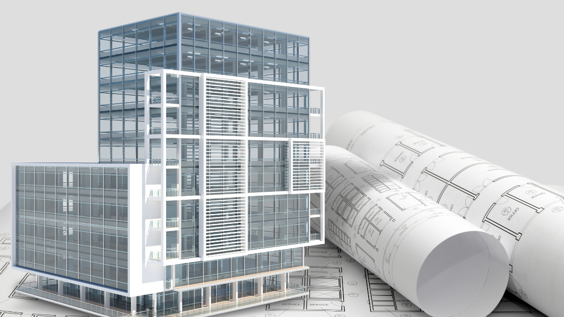
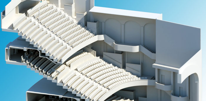
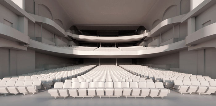
An unparalleled method for visualising and bringing your project to life. With the advancements in technologies in 3D laser scanning and various software we can reproduce your project as a three-dimensional computer model, a 3D point cloud or a BIM model – reproducing your project as they are in the real world.
Our expert team of in-house 3D specialists can independently produce 3D Revit models (BIM), 3D points clouds, orthographic elevations, orthographic floor plans, 3D fly throughs and more. Using highly accurate point clouds to create our 3D plans can produce all our models to a high degree of accuracy. 2D plans can be easily extracted from our models giving consistency throughout the project. With a process designed to make things as easy and straightforward as possible, our services can be tailored to the exact requirements of you and your organisation.

3D models are not limited to buildings. Using traditional land surveying practices alongside our 3D expertise we can create accurate 3D models of all topography including rural, urban, residential, and commercial areas.
Our expert team can produce topographical models to accurately show the behaviour of land and terrain plus all hard and soft features found within the boundaries of your project. Combining our building models with our topographical models gives our clients the full picture of their projects
Building Information Modelling allows everyone involved in your project to collaborate with ease. We use leading industry technologies such as Autodesk Revit to create the initial 3D model of your project, allowing you and your project partners to add to or alter any planned developments.
A highly collaborative and intelligent environment, the BIM process allows architects, engineers, developers, contractors and stakeholders to plan, design and construct a structure via one coordinated 3D model. Unlike the blueprints and CAD drawings of the past, if any party makes a change to your plan the model will reflect that change. Most importantly, because the model is updated consistently, it promotes transparency and highlights any potential clashes or discrepancies before they are able to develop into problems.
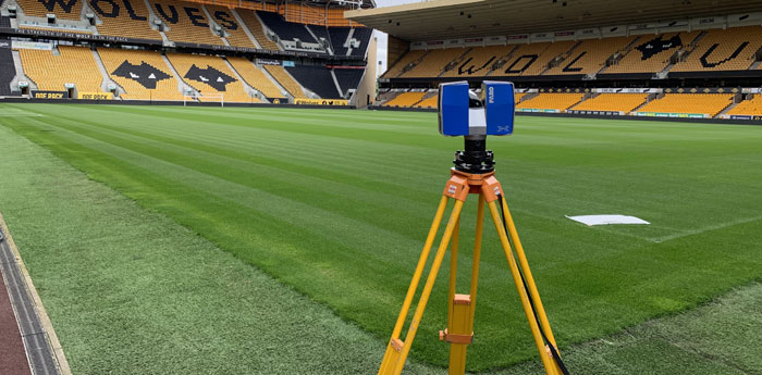
A point cloud is a collection of millions of individual measurement points, each with their own X, Y, Z coordinates captured using our 3D laser scanners.
The collection of all these points provides a three-dimensional ‘cloud’ of points, known as a point cloud.
Point clouds are a very accurate, precise and versatile way of measuring any building or space. Equipped with industry leading 3D laser scanning equipment and software our team of 3D experts are able to capture all data and issue with a quick turnaround. As all buildings and requirements are unique we can work alongside our clients to offer the most appropriate data set, usually including one or more of the following:
- Colourless point cloud with a relative accuracy of 20-30mm
- Greyscale point cloud with a relative accuracy of 2-3mm
- Full colour point cloud with a relative accuracy of 2-3mm
FARO Webshare Facility
The FARO Webshare is an easy-to-use, web-based tool that allows you to view your 3D laser-scanned point cloud data via our secure online domain. FARO Webshare allows you to easily take measurements, pick levels and browse your project through the eyes of the scanner.
Our expert 3D laser scanning and modelling team can efficiently compile your point cloud data and upload it to the FARO Webshare domain. This usually happens within a day or two of completing all 3D laser scanning on site, allowing you to browse your project and take essential.