Our Services
Getting a complete picture of a site often means looking at what’s going on beneath the surface. The presence of underground utilities often has considerable implications on a construction project, guiding the design process and helping safeguard against expensive project oversights, rescheduling, legal issues and accidents. Using cutting-edge technology such as electromagnetic locators and ground penetrating radar (GPR) helps streamline the process with unparalleled accuracy. Our experienced team of surveyors can provide a range of differing underground utility surveys depending on the clients requirements. These include utility mapping, drainage mapping, PAS128 utility surveys, borehole clearance surveys, GPR surveys, desktop utility services and more.
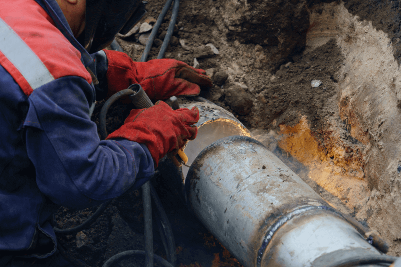
There is a whole world of pipes and cables intertwined just below our feet.
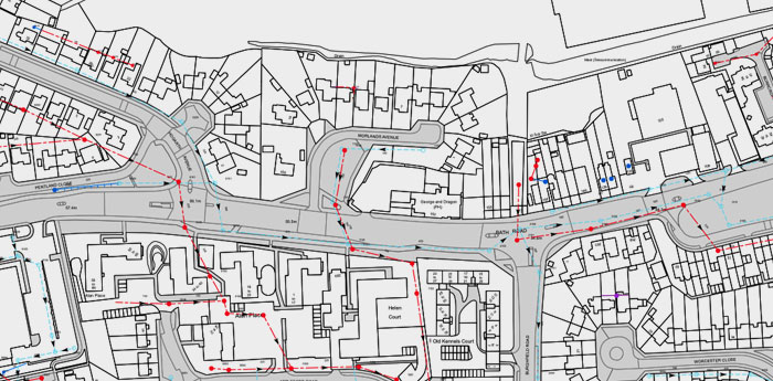
Playing a central role in the design and planning of any construction project, utility mapping surveys allow us to accurately locate, identify and record the presence of subsurface infrastructure and voids, working around environmental constraints.
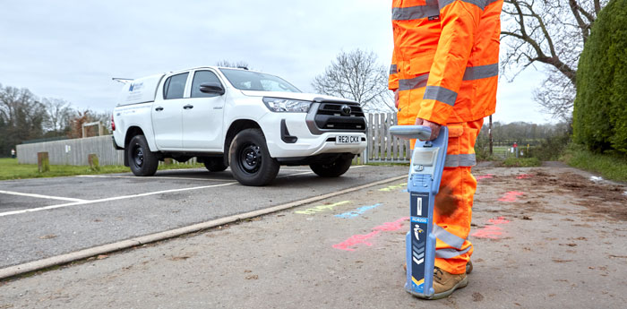
Our experienced team of utility mapping surveyors work on site, using the latest technology including CAT and Genny locators and ground penetrating radar (GPR) to efficiently map out the utilities available to you in and around your site. This can include gas pipes, electric, fibre optic cables, communications cables, BT, water and sewers. With a process designed specifically to minimise disruption, your utility mapping survey can be applied to existing plans or independently as needed.
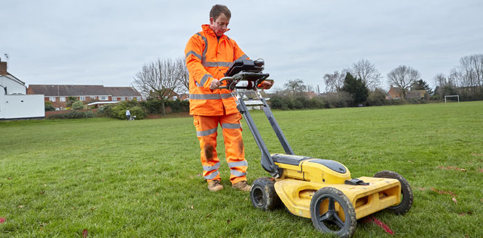
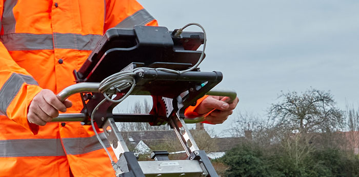
A revolutionary technique, ground penetrating radar (GPR) is able to detect non-metallic services beneath the ground with speed and precision and is invaluable in the mapping of underground utilities.
Our ground penetrating radar (GPR) surveys can aid in identifying previously invisible plastic water and gas pipes, fibre optics and drainage pipes. The GPR emits pulses of energy into the ground, revealing disturbances, changes and the trajectory of pipes and similar. Our expert team of Underground Utility Surveyors then analyse this information in detail to create your underground utility survey. We believe that radiodetection equipment and GPR should always be used as standard. For this reason, ground penetrating radar (GPR) is used on every site that we visit at no extra cost. We are proud to be a part of the European GPR Association.
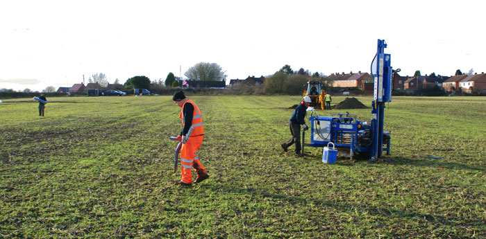
Utility clearance or borehole surveys have the potential to save you from costly mistakes, not to mention headaches, allowing you to safely clear your planned borehole locations before drilling into the ground.
Our experienced team of underground utility surveyors take a multi-layered approach, working with you as the client to agree on a suitable test approach and obtain any plans, records, or existing knowledge of the site, before using radiodetection locators and ground penetrating radar (GPR) to map utilities. An essential stage in the planning process, utility clearance promotes health and safety best practice at your site, prevents costly construction mistakes and ensures you are in a position to safely clear your utilities before any construction goes ahead. Upon completion of a survey, accurate coordinates and levels of each intrusive location are provided.
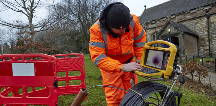
Suitable for private and commercial clients, drainage mapping is the best way to help you gather information about the location of existing drainage at your site.
Drainage mapping gives information on the location of drainage at your site and pinpoints where storm and foul sewer pipes are positioned beneath the ground. It helps us locate boundaries and identifies who is responsible for maintaining existing infrastructure – essential information in any construction project. Our expert team of underground utility surveyors use a combination of radiodetection and ground penetrating radar (GPR) to map drains. Your drainage mapping survey is included in your underground utility survey, offered as a stand alone project or can be used in combination with any of our other survey services.
It is advisable that any utility mapping survey is backed up with existing information held by utility companies relating to your site.
As part of our service, our team will contact all utility companies that may have a stake in the location, compiling replies into an easy-to-understand report. We will also provide any existing documentation that exists relating to your site. Being able to access these records allows us to gain important information which would otherwise not be accessible, including the sizes and materials of gas and water pipes, cable voltage, abandoned underground utilities and more. If we are providing your surveying services, the surveyor will be provided with a copy of your report before visiting the site, so they have the best understanding of what lies beneath.
PAS128 is the current standard for underground utility detection as set out by the British Standards Institution (BSI) in partnership with the Institution of Civil Engineers (ICE).
PAS128 ensures the reliable and consistent sharing and delivery of all information relating to underground utilities. There are different categories of detail that may be required. Applying to engineers, construction businesses, project managers, utility owners and, of course, surveying companies, PAS128 sets out best practice for compliant underground utility surveys and minimises danger, conflict, delays and disruption to your project. PAS128 is a highly accurate and detailed level of survey, generally used in areas known to be densely populated with services.